
Narrow your results
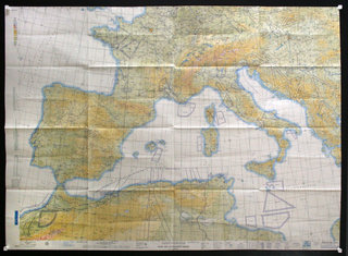
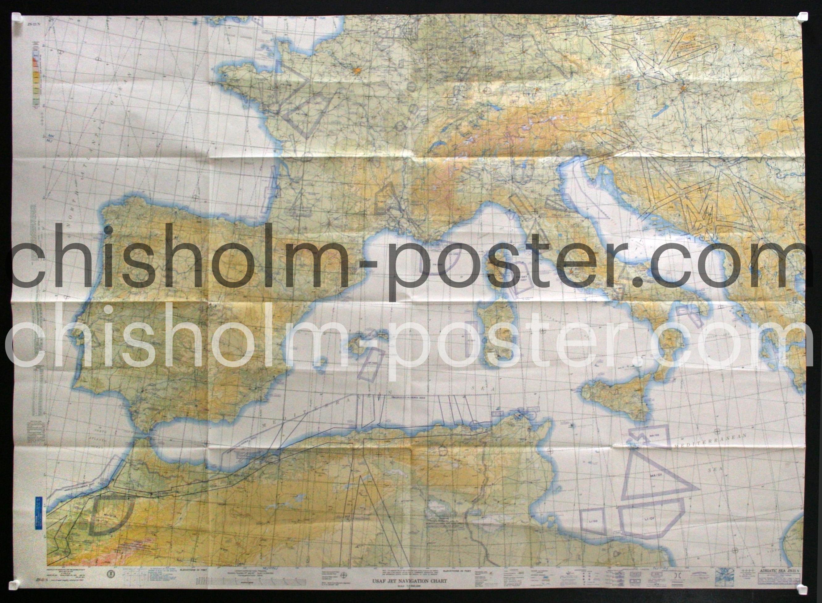
USAF Jet Navigation Chart - Europe
Poster ID: CL62424
Category: Miscellaneous/Map
Year: 1950s
Country: American
Approximate Size 41 x 58 inches
Condition: Very Good
Price: $150
1957 map detailing Northern Africa, Central Europe and the Mediterranean
Keywords: Chart,Europe,Navigation,France,Spain,Italy,Technical,Military,Horizontal,Latitude