
Narrow your results
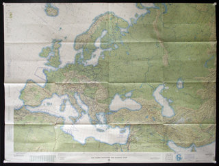
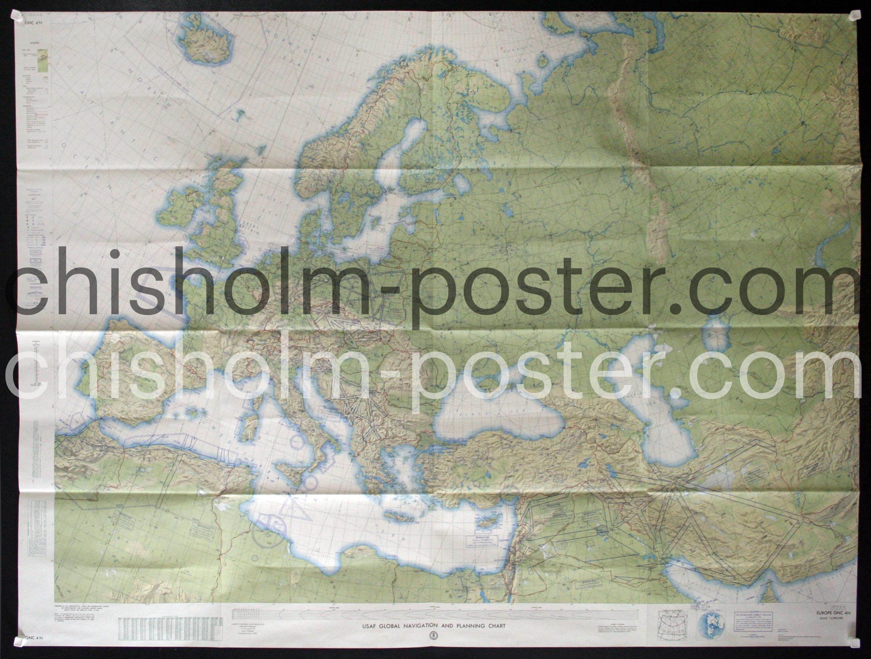
USAF Global Navigation and Planning Chart
Poster ID: CL62425
Category: Miscellaneous/Map
Year: 1950s
Country: American
Approximate Size 41 x inches
Condition: Very Good
1959 USAF Global Navigation and Planning Chart including Europe the Middle East and Asia
Keywords: Topographical,Planning,Europe,Asia,Middle east,Air force,Military,Charting,Flight
SOLD